Nuevo San Juan Parangaricutiro
| Nuevo San Juan Parangaricutiro | ||
|---|---|---|
|
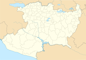
Coordinates: 19 ° 25 ′ N , 102 ° 8 ′ W Nuevo San Juan Parangaricutiro on the map of Michoacan
|
||
| Basic data | ||
| Country | Mexico | |
| State | Michoacan | |
| Municipio | Nuevo Parangaricutiro | |
| City foundation | 1944 | |
| Residents | 14,772 (2010) | |
| Detailed data | ||
| height | 1880 m | |
| Post Code | 60490 | |
| prefix | 452 | |
| City Presidency | Vicente Guerrero Ruiz | |
| Website | ||
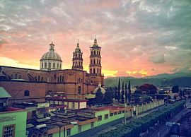
Nuevo San Juan Parangaricutiro , also San Juan Nuevo Parangaricutiro , is a place in the Mexican state of Michoacán located at an altitude of 1880 m . Nuevo San Juan Parangaricutiro is the administrative seat of the Municipio Nuevo Parangaricutiro and is located on the Meseta Tarasca near the Paricutín volcano . In 2010 the place had 14,772 inhabitants.
Nuevo San Juan Parangaricutiro was re-established in 1944 after the Paricutín eruption in 1943 destroyed the old settlement of San Juan Parangaricutiro to the north-west . The new settlement lives because of the proximity to the volcano and because of the ruins of the old village - only parts of the old church protrude from the solidified lava - mainly from tourism.
Tongue-twister
The - not real - name Parangaricutirimícuaro for the place, formed from Parangaricutiro and the regional-typical ending for place names -cuaro in Tarasque , is mainly known as part of a tongue twister: "El pueblo de Parangaricutirimícuaro se va a desparangaricuticloutirreimicuar un gran desparangaricutirimicuador. "
Individual evidence
- ^ SEDESOL: Catálogo de localidades


