Parnon Mountains
| Parnon Mountains | ||
|---|---|---|
| Highest peak | Megali Tourla ( 1940 m ) | |
| location | Peloponnese region , Greece | |
| part of | Peloponnese peninsula | |
|
|
||
| Coordinates | 37 ° 6 ′ N , 22 ° 35 ′ E | |
| rock | limestone | |
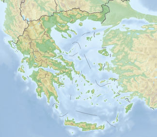
The Parnon Mountains ( Greek Πάρνωνας Párnonas ) is a mountain range in the southeast of the Greek Peloponnese peninsula . It extends over a length of about 60 km in the direction NW - SSE . Its highest point is the Megali Tourla at 1940 m . The south-western part of these mountains is in the prefecture of Laconia , the north-eastern part in the prefecture of Arcadia . Part of the border between these two prefectures runs on the ridge of the Parnon Mountains.
The mountain range lies east of the Laconian plain and the Evrotas valley. The part east of the ridge slopes down to the Argolic Gulf. In east-west direction (across the main ridge) it measures between 15 and 25 km. In the south-south-east, after a small basin not far from Sparta , the mountains continue for another 30 km in the form of low, parallel karst chains and end in Cape Kremidi on the Aegean Sea.
The predominant type of rock is limestone . In parnon are the Peleta -Höhle the (2006) with 543 m fifth deepest cave in Greece and 360 m deep vertical cave Propantes.


