
Pfarrerberg
| Pfarrerberg | ||
|---|---|---|
| height | 912 m | |
| location | District of Straubing-Bogen , Bavaria | |
| Mountains | Bavarian forest | |
| Dominance | 1.18 km → Hadriwa | |
| Notch height | 51 m ↓ Riedernkreuz | |
| Coordinates | 49 ° 1 '20 " N , 12 ° 46' 30" E | |
|
||

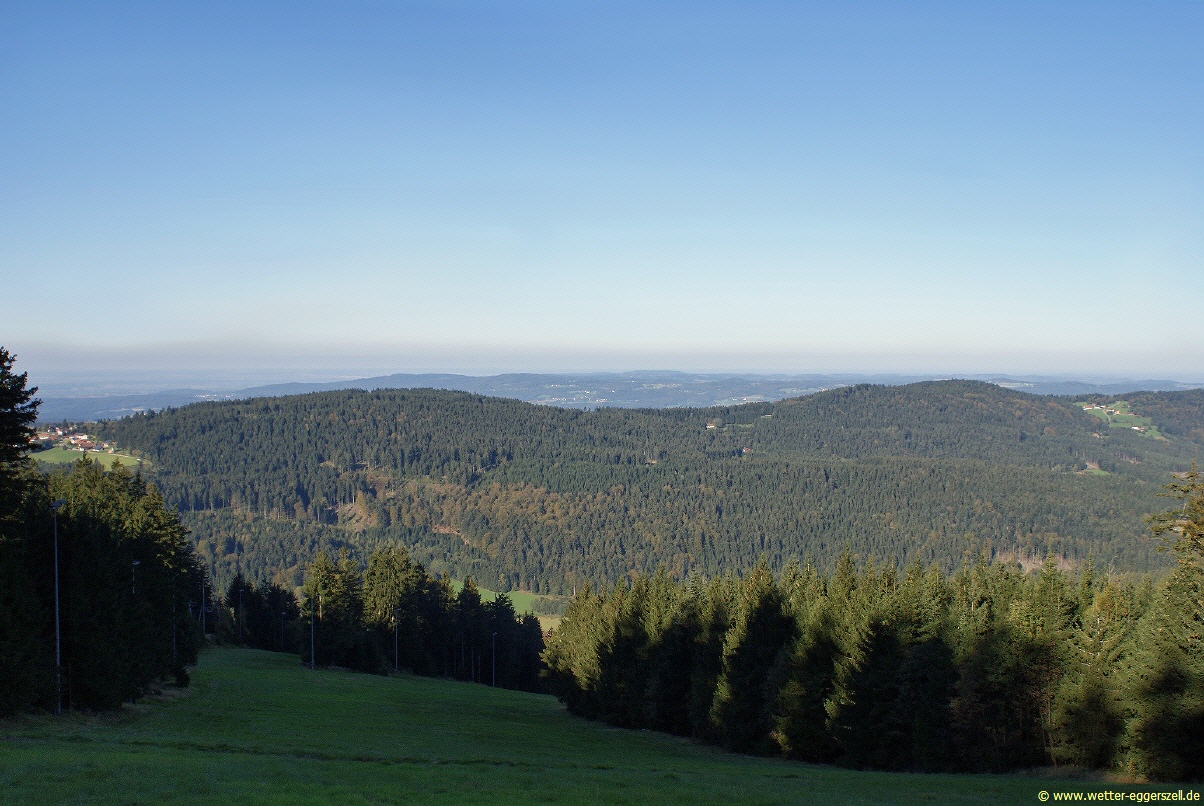
The Pfarrerberg in the municipality of St. Englmar in the Bavarian Forest is a fully wooded mountain with a height of 912 m . After the Hadriwa , the 922 m high northern neighboring peak, it is the second highest point of a mountain range in a north-south orientation.
According to a potential analysis, the Pfarrerberg is one of 17 possible top locations for pumped storage plants in Bavaria. In the Straubing-Bogen district , the nearby Hadriwa and Kobelberg are also included in these particularly suitable locations for pumped storage plants.

Location Pfarrerberg
On the western slope, about 200 meters below the summit, lies the village of Pfarrerberg , part of the Haibach community.
Web links
- Photo of Pfarrerberg and Hadriwa on www.wetter-eggerszell.de
Individual evidence
- ↑ Topographic map. 1: 10000. In: BayernAtlas. Bavarian State Ministry of Finance, Regional Development and Homeland, accessed on October 1, 2014 .
- ↑ Analysis of the pump storage potential in Bavaria. (PDF) final report. (No longer available online.) Bavarian State Office for the Environment, June 2014, p. 51 , archived from the original on October 6, 2014 ; accessed on October 1, 2014 . Info: The archive link was inserted automatically and has not yet been checked. Please check the original and archive link according to the instructions and then remove this notice.
- ^ "Particularly suitable", Straubinger Tagblatt of October 1, 2014, page 11