Pico Ruivo
| Pico Ruivo | ||
|---|---|---|
|
Pico Ruivo |
||
| height | 1862 m | |
| location | Madeira , Portugal | |
| Coordinates | 32 ° 45 ′ 31 ″ N , 16 ° 56 ′ 32 ″ W | |
|
|
||
| Type | Cinder cone | |
|
Rock nose with the mountain hut below the Pico-Ruivo summit |
||
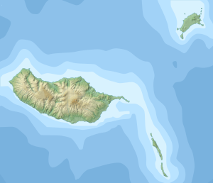
The Pico Ruivo (Portuguese for red tip ) is the highest mountain in Madeira with 1862 m and after the Ponta do Pico on the Azores island of Pico and the Torre (Serra da Estrela) in continental Portugal the third highest point in Portugal . It consists mainly of lava rock . There is a mountain hut just below the summit.
Thanks to well-developed paths, Pico Ruivo can also be used by inexperienced hikers , but the route requires good physical condition and surefootedness. The most popular variants are:
- from Pico do Arieiro , on secured stairways up and down, two and a half to three and a half hours for one route, [2009]. The longer and more strenuous path (at the fork on the right) is no longer accessible as of September 2018.
- starting from the parking lot on Achada do Teixeira (from Santana , one hour)
- a more strenuous option is the ascent in 5 to 6 hours from the Encumeada pass (1007 m), which connects Ribeira Brava (south coast) and São Vicente (north coast).
Web links
Commons : Pico Ruivo - collection of images, videos and audio files
Wikivoyage: Pico Ruivo - travel guide


