Pidlypne
| Pidlypne | ||
| Підлипне | ||

|
|
|
| Basic data | ||
|---|---|---|
| Oblast : | Sumy Oblast | |
| Rajon : | City district of Konotop | |
| Height : | no information | |
| Area : | Information is missing | |
| Residents : | 4,015 (2004) | |
| Postcodes : | 41626 | |
| Area code : | +380 5447 | |
| Geographic location : | 51 ° 12 ' N , 33 ° 13' E | |
| KOATUU : | 5910490501 | |
| Administrative structure : | 3 villages | |
| Address: | майдан Революції 2 41626 с. Підлипне |
|
| Website : | https://rada.info/rada/04391204/ | |
| Statistical information | ||
|
|
||
Pidlypne ( Ukrainian Підлипне ; Russian Подлипное Podlipnoje ) is a village in the west of the Ukrainian Sumy Oblast with about 4,000 inhabitants (2004).
Pidlypne belongs administratively to the urban district of Konotop and forms its own district council within it , which also includes the villages Kalyniwka ( Калинівка ⊙ ) with about 530 inhabitants and Lobkivka ( Лобківка ⊙ ) with about 130 inhabitants.
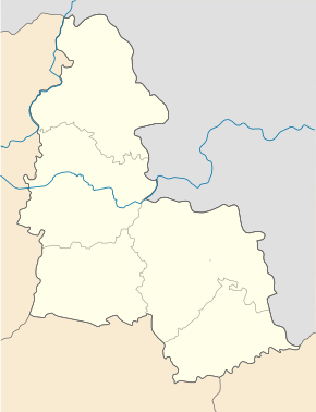
Pidlypne lies at the mouth of the Lypka ( Липка ) in the Jesutsch ( Єзуч ), a tributary of the Seim , 6 km south of the city center of Konotop between the regional road P-60 in the west and the P-61 in the east. The Oblastzentrum Sumy is located 130 km southeast of the village.
Individual evidence
- ↑ The village's website on the Verkhovna Rada website , accessed on June 27, 2015


