Poivre Atoll
| Poivre Atoll | ||
|---|---|---|
| The Poivre Atoll from the south | ||
| Waters | Indian Ocean | |
| archipelago | Amiranten | |
| Geographical location | 5 ° 45 ′ S , 53 ° 18 ′ E | |
|
|
||
| Number of islands | 3 | |
| Main island | Poivre | |
| Land area | 2.48 km² | |
| total area | 20.24 km² | |
| Residents | 5 (2002-08-22) | |
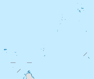
The Poivre Atoll belongs to the Amiranten archipelago and thus to the Outer Islands of the Seychelles in the Indian Ocean . The atoll is about 38 kilometers southwest of the Desroches Atoll. The closest neighbor is the Bertaut reef a good 12 kilometers northwest. Poivre consists of two islands and a small island:
- Poivre, 1.1 km²
- Florentine, 0.024 km²
- Île du Sud, 1.356 km²
The land area adds up to 2.48 km² (according to other information 2.66 km²). Poivre is the only one of the islands that is inhabited. A dam, which is submerged at high tide, connects the two larger islands. The total area including the reef platform measures over 20 km². There is no clearly defined lagoon . The large, elongated lagoon between the islands of Poivre and Florentin in the north and south, as well as a fringing reef in the east and west, is very shallow and dries out at low tide.
The atoll was first mentioned in 1771 by the Chevalier du Roslan, who named it after his ship L'Heure du Berger , "Ile du Berger" (German: "Shepherd's Island"). But in the same year it was renamed by the Chevalier de la Biollière, the commander of L'Etoile du Matin , in honor of Pierre Poivre , an extraordinary personality at the end of the 18th century.
Individual evidence
- ↑ PDF at www.sil.si.edu , accessed on April 3, 2010
- ↑ Horst Geckeler, Ulrich Hoinkes: Panorama of the lexical semantics: thematic commemorative publication on the occasion of the 60th birthday of Horst Geckeler . Gunter Narr Verlag, 1995, p. 806 ( full text in Google Book Search).

