Marie Louise
| Marie Louise | ||
|---|---|---|
| Aerial view of Marie Louise | ||
| Waters | Indian Ocean | |
| Archipelago | Amiranten | |
| Geographical location | 6 ° 10 '45 " S , 53 ° 8' 35" E | |
|
|
||
| length | 1.25 km | |
| width | 650 m | |
| surface | 52 ha | |
| Highest elevation | 3 m | |
| Residents | 5 (August 22, 2002) 9.6 inhabitants / km² |
|
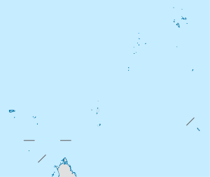
The island of Marie Louise is located in the Indian Ocean and belongs to the Amiranten archipelago - and thus to the Outer Islands of the Seychelles . It is 1,250 m long, 600 m wide, covers an area of 52 hectares (0.52 km²), is 280 km from the main island of Mahé and 13 km from the nearest island Desnœufs . It was named in 1771 by the Chevalier du Roslan after his ship Marie Louise .
The island has been leased and inhabited without interruption since the end of the 19th century. In 1905 the population was 86, and the island exported 3500 tons of guano that year . Until 1963, when 3000 tons of the fertilizer were still being produced, this was the mainstay of the island's economy, which also lived on copra and dried fish.
In the 1980s, attempts were made to develop the island for tourism and to build some bungalows, but failed because of the restrictions on aviation: the numerous birds on the island made landing too risky for planes. Landing on the 3 m high island by ship is difficult because the coast drops steeply and is littered with rocks.
After guano and copra lost their economic importance, Marie Louise almost became a ghost island, on which only a few people live today.
Web links
- Marie Louise in the BirdLife Factsheet (English)

