
Pomerape
| Pomerape | ||
|---|---|---|
 Pomerape (right) and Parinacota (left). |
||
| height | 6222 m | |
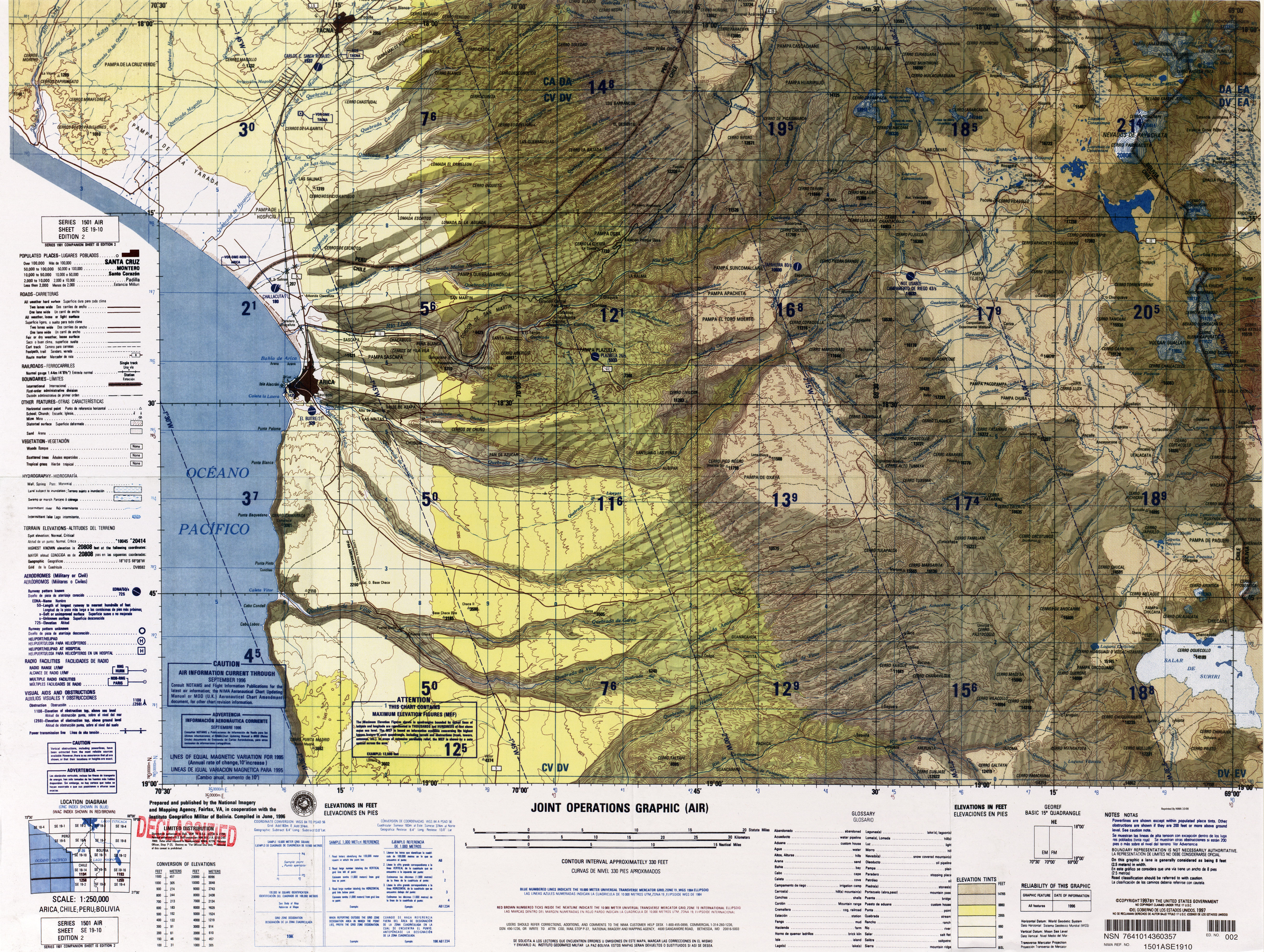
| location | Región de Arica y Parinacota , Chile / Departamento Oruro , Bolivia | |
| Mountains | Cordillera Occidental , Andes | |
| Dominance | 4 km → Parinacota | |
| Notch height | 950 m | |
| Coordinates | 18 ° 7 ′ 33 ″ S , 69 ° 7 ′ 39 ″ W | |
|
||
| Type | Stratovolcano , extinguished | |
| First ascent | May 14, 1946 by the Bolivians Edmundo García and René Zalles | |

The Pomerape ( 6222 m ) is an extinct stratovolcano on the border between Chile and Bolivia in the area of the Atacama Desert . It is located in the Lauca National Park 145 km east of Arica in the western cordillera of the Central Andes. Together with the Parinacota volcano , which lies southwest of it, it forms the Payachata complex.
The summit of the Pomerape can be climbed relatively easily as a day tour from the village below it at an altitude of 4200 m . This can be reached either from Chile from Arica (bus connection to La Paz , but not recommended without sufficient acclimatization) or from La Paz. From the village, which only offers simple overnight accommodation, you can drive up to approx. 5000 m in an off-road vehicle and let them lead to the summit.
See also
Web links
- Pomerape in the Global Volcanism Program of the Smithsonian Institution (English)
- Pomerape on www.andeshandbook.cl (Spanish)
- Pomerape on summitpost (English)
- Raised relief map Arica 1: 100,000 (PDF; 6.4 MB)