
Raša (Adriatic Sea)
| Raša | ||
.jpg) Raša at Most Raša |
||
| Data | ||
| location |
|
|
| River system | Raša | |
| source | at Potpićan 45 ° 11 '50 " N , 14 ° 5' 47" O |
|
| Source height | approx. 20 m | |
| muzzle |
Ria Raški zaljev coordinates: 45 ° 2 '4 " N , 14 ° 2' 47" E 45 ° 2 '4 " N , 14 ° 2' 47" E |
|
| Mouth height | 0 m | |
| Height difference | approx. 20 m | |
| Bottom slope | approx. 0.87 ‰ | |
| length | approx. 23 km | |
| Left tributaries | Krapanski Potok | |
| Right tributaries | Karbuna | |
The Raša ( Italian Arsia ) is one of the most important rivers on Istria in Croatia.
course
The Raša arises in the hamlet Potpićan from the confluence of several small bodies of water (including the tributary Karbuna ). It flows south in a valley cut up to about 300 m deep and flows into the Ria Raški zaljev / Porto d'Arsia , in a valley partially flooded by the sea.
Historical meaning
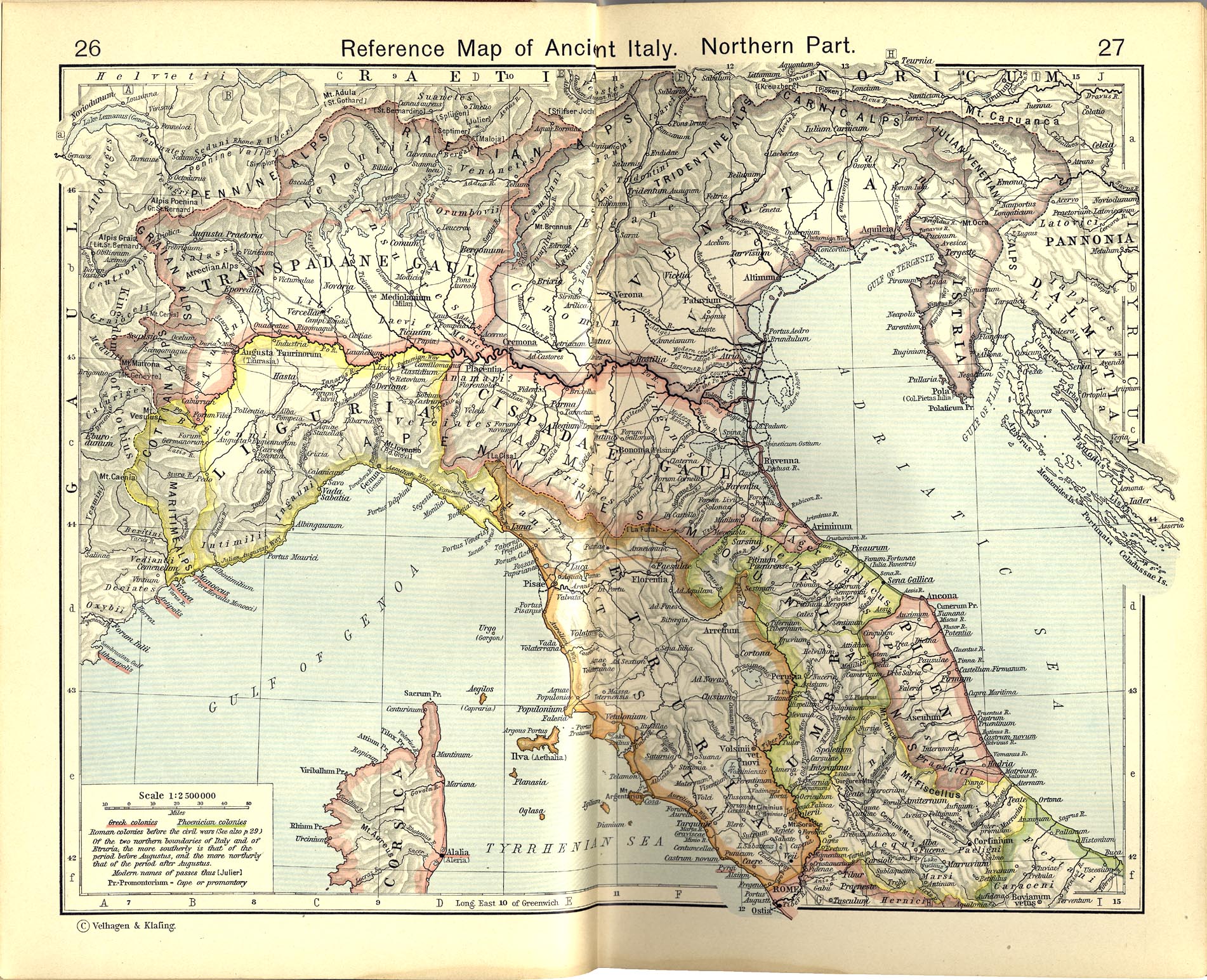
Although the Raša is only relatively short in length, it was known in Roman times under the Latin name Arsia : it was the border river to the Histri , or formed the then Italian northeast border.
Individual evidence
- ^ William Robert Shepherd : Historical Atlas . New York: Henry Holt and Company, 1911. Ancient Italy, Northern Part
literature
- Wilhelm Tomaschek : Arsia 1 . In: Paulys Realencyclopadie der classischen Antiquity Science (RE). Volume II, 1, Stuttgart 1895, Col. 1276.