Zhytkavichy district
| Zhytkavichy district | |
|---|---|

|
|
| Basic data | |
| Woblasz: | Homelskaya Woblasz |
| Administrative center: | Zhytkawitschy |
| Surface: | 2916.27 km² |
| Population : | 35,510 (January 1, 2018) |
| Population density : | 12.17 inh / km² |
| License plate : | 3 |
| Website: | http://zhitkovichi.gov.by/ru |
| Chairman of the
Executive Committees: |
Viktor Adamowitsch Atliwanow |
| map | |
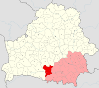
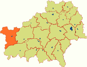
The Zhytkawitschy Raion ( Belarusian Жыткавіцкі раён; Russian Житковичский район) is an administrative unit in Homelskaya Woblasz in Belarus with the administrative center in the city of Zhytkawitschy . The Rajon has an area of 2916.27 km² and includes 108 rural settlements.
geography
The Zhytkawitschy Rajon is located in the western part of Homelskaya Woblasz. Neighboring ravines are Salihorsk and Ljuban in Minskaya Woblasz in the north, Petrykau in the east and Leltschyzy in Homelskaya Woblasz in the south , and Stolin and Luninez in Breszkaya Woblasz in the west .
Administrative structure
| Village Soviets | Cities |
Web links
Commons : Zhytkawitschy Rajon - collection of images, videos and audio files
Individual evidence
- ↑ National Statistics Committee of the Republic of Belarus: Population by Region, District, City and Town , accessed on January 22, 2019.
- ^ Executive of the Rajons , accessed January 22, 2019.


