Rifugio Maria e Franco
| Rifugio Maria e Franco CAI refuge category D |
||
|---|---|---|
|
The Rifugio Maria e Franco with the Passo Brescia in the background |
||
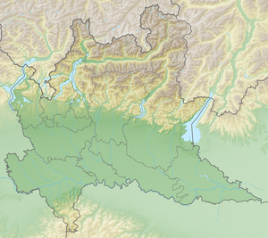
| location | Passo Dernal; Lombardy , Italy ; Valley location: Ceto | |
| Mountain range | Adamello group | |
| Geographical location: | 46 ° 1 '26 " N , 10 ° 27' 54" E | |
| Altitude | 2574 m slm | |
|
|
||
| owner | CAI section Brescia | |
| Built | 1976 | |
| Construction type | Refuge | |
| Usual opening times | Mid-June to mid-September | |
| accommodation | 45 beds, 0 camps | |
| Winter room | 6 bearings | |
The Rifugio Maria e Franco is an alpine refuge in the Italian region of Lombardy in the Adamello group . It is located at an altitude of 2574 m slm within the community Ceto and belongs to the CAI - Section Brescia . The hut is open from mid-June to mid-September and sleeps 45 mountaineers.
Location and surroundings
The refuge is located in the upper Valle di Dois just below the Passo Dernal. To the west of the hut is the Monte Re di Castello ( 2889 m ), which can be reached in just over an hour from the Rifugio Maria Franco. The hut, built in 1976, is located on Adamello-Höhenweg No. 1 . It was built on the same site as the Rifugio Brescia, which was destroyed in World War I and built in 1911.
Accesses
- From Malga Bissina, 1790 m ⊙ on path 242 in 3 hours
- From Case di Val Paghera, 1189 m ⊙ on path 37 in 4 ½ hours
- From La Rasega, 1130 m ⊙ on path 20, 89 in 4 ½ hours
Crossings and neighboring huts
- To the Rifugio Tita Secchi , 2367 m ⊙ in 5 hours
- To the Rifugio Città di Lissone , 2017 m ⊙ in 4 ½ hours
- To the Rifugio Val di Fumo , 1918 m ⊙ in 5 hours
Web links
Individual evidence
- ^ Rifugio Maria e Franco. In: diska.it. Retrieved July 16, 2019 (Italian).

