Riset stick
| Riset stick | ||
|---|---|---|
|
Pilate chain seen from the bowl, the riser stick is on the far right |
||
| height | 1759 m above sea level M. | |
| location | Cantonal border between the canton of Lucerne and the canton of Obwalden , Switzerland | |
| Mountains | Pilatus massif | |
| Coordinates | 654 146 / 200958 | |
|
|
||
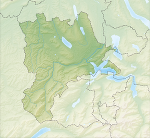
The Risetestock with a height of 1759 m above sea level. M. is a summit of the Pilatus massif in the Lucerne Pre-Alps (according to another division in the Emmental Alps ) between the cantons of Lucerne and Obwalden , Switzerland .
location
The Risetestock lies within the Pilatus chain between Gfellen on the Glaubberg range and the Stäfeliflue . It is the first peak within this mountain range , which runs from west to east , followed by Stäfeliflue and Mittaggüpfi . The steep northern slope of the Risetestock is formed by a sequence of layers of limestone of different hardness . To the south the mountain falls relatively flat and is mostly covered with grass and further down with forest.
reachability
The Risetestock can be reached on foot (mountain hike T3 ) from the north from Stäfeli ( Schwarzenberg LU ) and from the west from Gfellen and is located on the ridge path that leads from Pilatus via Mittaggüpfi to Gfellen. From the summit, the view extends north to the Swiss plateau and south to the Alps .
literature
- A. Buxtorf: Geology of Pilatus, lecture given at the 105th annual meeting of the Swiss Natural Research Society in Lucerne on October 1, 1924 , Buchdruckerei Büchler & Co., Bern 1924
Web links
- Risetstock on gipfelbuch.ch

