Stäfeliflue
| Stäfeliflue | ||
|---|---|---|
|
Stäfeliflue (left summit) |
||
| height | 1922 m above sea level M. | |
| location | Kantonsgrenze Canton Lucerne / Obwalden , Switzerland . | |
| Mountains | Pilatus massif | |
| Dominance | 4.25 km → Widderfeld | |
| Notch height | 221 m ↓ saddle between Rot Dossen and Widderfeld | |
| Coordinates | 655 239 / 201740 | |
|
|
||
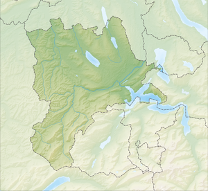
The Stäfeliflue with a height of 1922 m above sea level. M. is a summit of the Pilatus massif in the Lucerne Pre-Alps (according to another division in the Emmental Alps ) between the cantons of Lucerne and Obwalden , Switzerland .
reachability
The Stäfeliflue can be reached on foot (mountain hike T3 ) from the north from Stäfeli ( Schwarzenberg LU ) and from the west from Gfellen . The summit is a stopover on the ridge path from Pilatus via Mittaggüpfi to Gfellen. To the north the view extends from the summit as far as the Swiss plateau and to the south as far as the Alps . In the valley between Mittaggüpfi and Stäfeliflue lies at 1763 m above sea level. M. the Tripolihütte , which serves as a shelter in bad weather for hikers as accommodation.
geology
The steep northern slope of the Stäfeliflue is formed by a sequence of layers of limestone of different hardness. To the south the mountain falls relatively flat and is mostly covered with grass and further down with forest.
literature
- A. Buxtorf: Geology of Pilatus, lecture given at the 105th annual meeting of the Swiss Natural Research Society in Lucerne on October 1, 1924 , Buchdruckerei Büchler & Co., Bern 1924
Web links
- Stäfeliflue, 1922 meters above sea level on gipfelbuch.ch

