Rishi Pahar
| Rishi Pahar | ||
|---|---|---|
| height | 6992 m | |
| location | Uttarakhand ( India ) | |
| Mountains | Nanda Devi Group ( Garhwal Himalayas ) | |
| Dominance | 3.28 km → Hardeol | |
| Coordinates | 30 ° 31 '57 " N , 79 ° 59' 53" E | |
|
|
||
| First ascent | September 27, 1975 by Jiro Imai and Meiro Hagiwara | |
The Rishi Pahar is a 6992 m high mountain in the Himalayas in Uttarakhand ( India ).
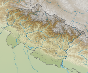
The mountain is located in Chamoli District in the eastern Garhwal Himalayas in the Nanda Devi Biosphere Reserve . A mountain ridge leads southeast over the 6,911 m high Saf Minal to the 6,931 m high Kalanka . The Rishi Pahar is connected to the 7151 m high north-northeast located Hardeol via a 3.3 km long ridge. The Milam Glacier is on its eastern flank, the Bagini Glacier on its northwest flank.
The Rishi Pahar was first climbed on September 27, 1975 by Jiro Imai and Meiro Hagiwara, members of a Japanese expedition, via the west ridge.
Web links
- Photo by Rishi Pahar and Saf Minal from Bagini Glacier at himalaya-info.org
- indianetzone.com
- Photo by Rishi Pahar and Saf Minal at flickr.com
