Saf Minal
| Saf Minal | ||
|---|---|---|
| height | 6911 m | |
| location | Uttarakhand ( India ) | |
| Mountains | Nanda Devi Group ( Garhwal Himalayas ) | |
| Dominance | 3 km → Rishi Pahar | |
| Notch height | 510 m | |
| Coordinates | 30 ° 31 '43 " N , 79 ° 58' 0" E | |
|
|
||
| First ascent | 1975 by a japan. expedition | |
The Saf Minal is a 6911 m high mountain in the Himalayas in Uttarakhand ( India ).
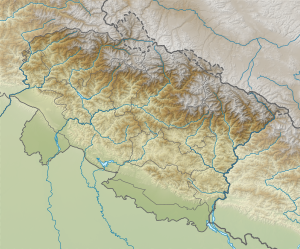
The mountain is located in Chamoli District in the eastern Garhwal Himalayas in the Nanda Devi Biosphere Reserve . The Saf Minal is located on a ridge that connects the 3.73 km away Kalanka (6931 m) in the southwest with the east-northeast Rishi Pahar (6992 m). The Uttar Rishi Glacier is on its southeast flank, the Bagini Glacier on its northwest flank.
Ascent history
Saf Minal was first climbed from the south on September 27, 1975 by a Japanese group of climbers.
In October 2004 the American John Varco and the British Ian Parnell climbed the summit over the difficult northwest flank.
Web links
- Photo by Rishi Pahar and Saf Minal from Bagini Glacier at himalaya-info.org
- Photo by Rishi Pahar and Saf Minal at flickr.com
- Alpinist: SAF MINAL, NORTHWEST FACE
- Photo at accidentaltrekker.blogspot.de
