Roter Berg (Hasbergen)
| Red mountain | ||
|---|---|---|
|
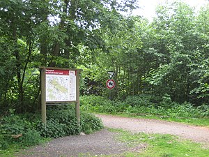
At the hiking car park of the Red Mountain |
||
| height | 108 m above sea level NHN | |
| location | Hasbergen , Osnabrück district | |
| Mountains | Hill | |
| Coordinates | 52 ° 13 '47 " N , 7 ° 56' 28" E | |
|
|
||
| rock | Upper carbon | |
| particularities | Part of the Ibbenbüren coal field | |
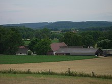
The Rote Berg is a 108 meter high mountain in Hasbergen in the district of Osnabrück (Lower Saxony). It is part of the TERRA.vita nature and geopark .
The mountain is located northwest of the Heidhornberg (180.1 meters) and southwest of the Ortenbrink (120.5 meters). It belongs to the area of the Hüggel , a 3.7 kilometer long mountain range of the Oberkarbon in the Ibbenbürener hard coal mining area . The Aron tunnel has been preserved from the mining era.
On the Red Mountain there is a group of burial mounds that were archaeologically researched between May 1984 and April 1985.
The Rote Berg is accessible by hiking trails. There is a parking lot for hikers on the mountain. There the way to a geological nature trail is signposted.
The school on the Roten Berg , a secondary and secondary school in Hasbergen, is named after the mountain .
literature
- André Lindhorst: The excavations on the grave mound group "Roter Berg" in the Hasbergen district (May 1984 to April 1985) In: From the large stone grave to the Domburg. Rahden / Westf., Leidorf 2002, pp. 29-49
Individual evidence
- ↑ Excursions on the hill
- ↑ Excavations on the Red Mountain in 1984/1985 ( page no longer available , search in web archives ) Info: The link was automatically marked as defective. Please check the link according to the instructions and then remove this notice. (PDF file)


