Sacca San Biagio
| Sacca San Biagio | ||
|---|---|---|
| Image of Sacca San Biagio, with the former waste incineration plant in the background | ||
| Waters | Venice lagoon | |
| Geographical location | 45 ° 25 '36 " N , 12 ° 18' 33" E | |
|
|
||
| length | 359 m | |
| width | 200 m | |
| surface | 3 ha | |
| Residents | uninhabited | |
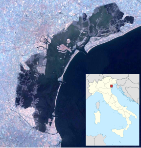
| Location of Sacca San Biagio Island | ||
The artificial island of Sacca San Biagio is located south of the old town of Venice in the lagoon .
geography
Sacca San Biago is located immediately west of the neighboring island of Sacca Fisola , with which it is connected in the far south by a 35 meter long bridge. Except at the place of the bridge, the spanned canal Novo or its connection with the canale della Giudecca is 80 meters wide.
The island is 359 meters long and up to 200 meters wide, with an area of three hectares .
Sacca San Biagio, like the neighboring islands Sacca Fisola and Giudecca, belongs to the sestiere Dorsoduro of the old town of Venice. It belongs to the territory of the parish of San Gerardo Segredo , which has its seat on Sacca Fisola.
history
San Biago is the youngest of the three sacche (artificial islands) in the Venice lagoon. It was created from a landfill in the 1930s to 1950s.
The island was home to a waste incineration plant that was in operation from 1973 to 1985, which is why it was also known as Le Ìxoła Scoasse ( Garbage Island ).
See also
Web links
- Map of the central lagoon of Venice (PDF, 5.3 MB)


