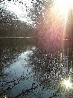
Samotkan (river)
|
Samotkan Самоткань |
||
| Data | ||
| location | Ukraine | |
| River system | Dnepr | |
| Drain over | Dnepr → Black Sea | |
| source | at Wilni Chutory , Rayon Verkhnodniprovsk , oblast Dnipropetrowsk 48 ° 31 '35 " N , 33 ° 59' 44" O |
|
| muzzle | at Verkhnodniprovsk in the Kamjansker reservoir accumulated Dnepr coordinates: 48 ° 39 '48 " N , 34 ° 19' 55" O 48 ° 39 '48 " N , 34 ° 19' 55" O
|
|
| length | 42 km | |
| Catchment area | 339 km² | |
| Small towns | Verkhnyodniprovsk | |
| Communities | Pushkarivka | |
The Samotkan (Ukrainian Самоткань ) is a 42 km long right tributary of the Dnieper in the center of Ukraine . The catchment area of the Samotkan is 339 km² and its gradient is 1.1 m / km.
The river rises west of the village Wilni Chutory (Ukrainian Вільні Хутори ) north of Wilnohirsk in the Verkhnyodniprovsk Raion in the Dnipropetrovsk Oblast and flows through the Rajon first to the east and from the village of Borovkivka mainly in the northeast direction. After 42 kilometers, it flows into the Dnepr, which is dammed up to the Kamjansk reservoir , in the northeast of the city of Verkhnyodniprovsk .
Course of the Samotkan in the Dnepropetrovsk Oblast |
Web links
- Documentary about the river part 1 on Youtube
- Documentary about the river part 2 on Youtube

