Sar'it
| Sar'it | ||
|---|---|---|
| Basic data | ||
| hebrew : | זרעית | |
| State : |
|
|
| District : | North | |
| Founded : | 1967 | |
| Coordinates : | 33 ° 15 ' N , 35 ° 11' E | |
| Height : | 618 m | |
| Residents : | 262 (as of 2018) | |
| Community code : | 1130 | |
| Time zone : | UTC + 2 | |
|
|
||
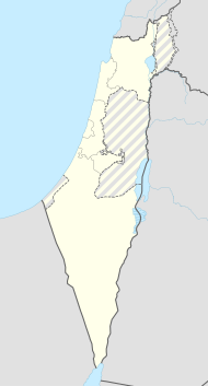
Sar'it ( Hebrew זַרְעִית Sar'īt , English Zar'it ) is an Israeli moshav in Upper Galilee , near the Lebanese border in the Regional Council of Ma'ale Yosef . The place had 262 in 2018. On July 12, 2006, three Israeli soldiers east of the place were killed by Hezbollah and two more were kidnapped to Lebanon, which Israel used as an occasion for the 2006 Lebanon War .
Surname
The village was founded in 1967 and was named Kfar Rosenfeld in honor of the American philanthropist William Rosenfeld. The strange-sounding name was not well received by the residents and as a compromise the head of the community proposed an acronym which combined Rosenfeld's name with a Hebrew word, Sar'it ("Rosenfeld's memory will always be with us",זכר רוזנוולד עמנו ישאר תמיד). The second meaning is the bird of the same name, the song of which can be heard within the community. The word literally means “seed” and as such fits the agricultural character of nearby communities.
Individual evidence
- ↑ אוכלוסייה ביישובים 2018 (population of the settlements 2018). (XLSX; 0.13 MB) Israel Central Bureau of Statistics , August 25, 2019, accessed May 11, 2020 .
- ↑ אוכלוסייה ביישובים 2018 (population of the settlements 2018). (XLSX; 0.13 MB) Israel Central Bureau of Statistics , August 25, 2019, accessed May 11, 2020 .
