Scharteberg
| Scharteberg | ||
|---|---|---|
|
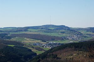
View from the Mäuseberg to the Scharteberg |
||
| height | 691.4 m above sea level NHN | |
| location | Vulkaneifel district , Rhineland-Palatinate , Germany | |
| Mountains | Eifel | |
| Coordinates | 50 ° 13 '4 " N , 6 ° 45' 10" E | |
|
|
||
|
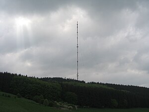
"Sender Eifel" in a more detailed view |
||
The Scharteberg is 691.4 m above sea level. NHN high elevation near Kirchweiler in the Vulkaneifel district and thus one of the highest elevations in the Eifel . On it is the SWR's Eifel transmitter for VHF radio and television .
Individual evidence
- ↑ a b Map service of the landscape information system of the Rhineland-Palatinate Nature Conservation Administration (LANIS map) ( notes )


