Semenivka (Arbusynka)
| Semenivka (Arbusynka) | ||
| Семенівка | ||

|
|
|
| Basic data | ||
|---|---|---|
| Oblast : | Mykolaiv Oblast | |
| Rajon : | Arbusynka district | |
| Height : | 102 m | |
| Area : | Information is missing | |
| Residents : | 1,937 (2001) | |
| Postcodes : | 55330 | |
| Area code : | +380 5132 | |
| Geographic location : | 47 ° 56 ' N , 31 ° 4' E | |
| KOATUU : | 4820384201 | |
| Administrative structure : | 1 village | |
| Address: | вул. Попова буд. 57 55 330 с. Семенівка |
|
| Website : | City council website | |
| Statistical information | ||
|
|
||
Semeniwka ( Ukrainian Семенівка ; Russian Семёновка Semjonowka ) is a village in the northwest of the Ukrainian Oblast Mykolaiv with about 1900 inhabitants (2001).
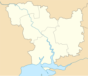
Semeniwka belongs administratively to the rural municipality Blahodatne and is located in the west of the Arbusynka district on the left bank of the Southern Bug , 11 km southwest of the community center Blahodatne, 27 km northwest of the district center Arbusynka and 145 km northwest of the Oblast center Mykolaiv .
In the village first mentioned in writing in 1781 , 3800 people lived in 1897, according to the first census in the Russian Empire . During the German-Soviet War , the village was occupied by the Wehrmacht from August 1941 to March 20, 1944 .
The M 13 / E 584 trunk road leads north of the village over the Southern Bug.
Individual evidence
- ↑ Local website on the official website of the Verkhovna Rada ; accessed on December 8, 2017 (Ukrainian)
- ^ Local history of Semeniwka in the history of the cities and villages of the Ukrainian SSR ; accessed on December 8, 2017 (Ukrainian)

