Seshote
| Seshote | ||
|---|---|---|
|
|
||
| Coordinates | 29 ° 16 ′ S , 28 ° 33 ′ E | |
| Basic data | ||
| Country | Lesotho | |
| Leribe | ||
| ISO 3166-2 | LS-C | |
| height | 2180 m | |
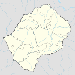
Seshote even Ha Seshote , is a place in the district of Leribe in Lesotho in southern Africa .
geography
Seshote is located in the Maloti Mountains west of the Matsoku , a tributary of the Malibamatšo , which flows roughly from north to south . The districts of Mokhotlong and Thaba-Tseka border the Leribe district near the town .
Seshote is also the name of the Community Council in which the place is located. The Community Council had a population of 9,693 in 2006.
Economy and Infrastructure
Seshote is agriculturally oriented. There is a Roman Catholic mission station and the Seshutes airfield ( ICAO code FXSS, IATA code SHZ). Seshote is on the A25 , which runs from Hlotse to the A3 at Thaba-Tseka . As part of the Lesotho Highland Water Project , another paved road is to lead from Seshote to the planned Polihali Dam.
Individual evidence
- ↑ Information Handbook 1/2009: Leribe District. pitsong.org (English; PDF)
- ↑ Seshutes. world-airport-codes.com (English), accessed on May 3, 2020
- ↑ Resettlement action plan summary for Lesotho Highland Water Project Phase II. Afdb.org, 2019 (English; PDF)
