Shoulder Mountain
| Shoulder Mountain | ||
|---|---|---|
| height | 1000 m | |
| location | Victoria Land , East Antarctica | |
| Mountains | Prince Albert Mountains , Transantarctic Mountains | |
| Coordinates | 76 ° 37 ′ 0 ″ S , 162 ° 8 ′ 0 ″ E | |
|
|
||
|
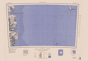
Franklin Island map sheet from 1962, mouth of the Fry Glacier south of the center of the western edge of the map |
||
The Shoulder Mountain (literally translated shoulder mountain ) is a striking, triangular in the base and massive mountain of over 1000 m height in the East Antarctic Victoria Land . It rises in the Prince Albert Mountains on the northern flank of the lower section of the Fry Glacier south of Mount Creak .
The New Zealand Northern Group of the Commonwealth Trans-Antarctic Expedition (1955-1958) surveyed the mountain in 1957 and gave it the descriptive name.
Web links
- Shoulder Mountain in the Geographic Names Information System of the United States Geological Survey (English)
- Shoulder Mountain on geographic.org (English)

