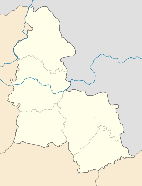
Sliporod
| Sliporod | ||
| Сліпород | ||

|
|
|
| Basic data | ||
|---|---|---|
| Oblast : | Sumy Oblast | |
| Rajon : | Municipality of Hluchiw | |
| Height : | 150 m | |
| Area : | Information is missing | |
| Residents : | 290 (2001) | |
| Postcodes : | 41400 | |
| Area code : | +380 5444 | |
| Geographic location : | 51 ° 39 ' N , 33 ° 51' E | |
| KOATUU : | 5910390001 | |
| Administrative structure : | 1 village | |
| Address: | вул. Шевченка 6 41400 м. Глухів |
|
| Website : | Municipality website | |
| Statistical information | ||
|
|
||
Sliporod ( Ukrainian Сліпород ; Russian Слепород Sleporod ) is a village in the north of the Ukrainian Sumy Oblast with about 250 inhabitants.

Sliporod administratively belongs to the municipality of the city of Hlukhiv .
The village is located at an altitude of 150 m on the bank of the Rakyta ( Ракита ) an 18 km long right tributary of the Esman ( Есмань ; river system Dnepr ) 4 km downstream from the village of Poloshky ( Полошки ). The village is located about 6 km southwest of the Hluchiw community and district center and about 130 km northwest of the Sumy Oblast center . In Sliporod on May 9, 2012, on the initiative of local war veterans, a memorial was erected for the residents of the village who perished in the German-Soviet war in place of an abandoned memorial from 1965.
Web links
Individual evidence
- ↑ Local website on the official website of the Verkhovna Rada ; accessed on May 2, 2019 (Ukrainian)


