
Sonpur (Nepal)
| Sonpur | |||
|---|---|---|---|
|
|||
| Coordinates | 27 ° 53 ' N , 82 ° 36' E | ||
| Basic data | |||
| Country | Nepal | ||
| Province No. 5 | |||
| ISO 3166-2 | NP-P5 | ||
| District | Dang Deukhuri | ||
| Residents | 13,589 (2011) | ||

Sonpur is a former Village Development Committee (VDC), a kind of community, in southwestern Nepal .
Sonpur is located about 280 kilometers (as the crow flies) west-southwest of the capital Kathmandu in the south-western district of Dang Deukhuri in Province No. 5 .
Sonpur is located on the north bank of the Eastern Rapti on the southern slope of the Mahabharat chain, a mountain range similar to low mountain ranges that extends on the southern edge of the Himalayas .
Sonpur had 11,366 inhabitants in 2001, 50.8% men and 49.2% women. At the 2011 census, the population was 13,589 (5671 male) in 2,640 households.
At the end of 2014, Sonpur merged with Chaulahi to form the newly founded city of Lamahi .
Web links
-
US military
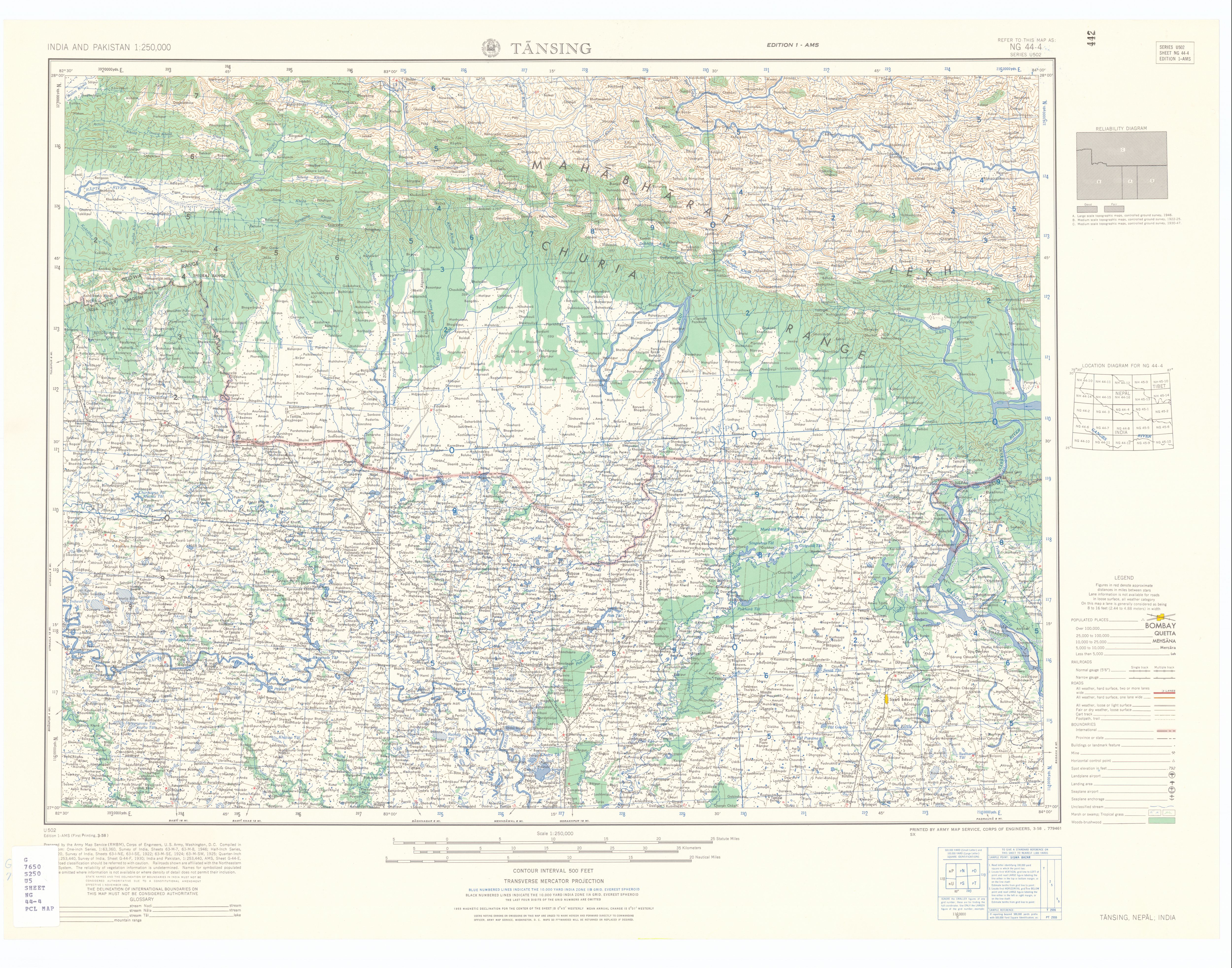
maps of India, Nepal and Pakistan, sheet NG 44-4, Washington 1959 (JPG, approx. 7 MB English) Source: Map collection of the University of Texas, Austin. The map shows the Nepalese-Indian border area and the detailed topography of this region.
Individual evidence
- ↑ National Report 2001 of the Central Bureau of Statistics ( Memento of the original of July 8, 2007 in the Internet Archive ) Info: The archive link has been inserted automatically and has not yet been checked. Please check the original and archive link according to the instructions and then remove this notice.
- ↑ General Bureau of Statistics, Kathmandu, Nepal, Nov. 2012