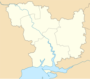
Stara Bohdanivka
| Stara Bohdanivka | ||
| Стара Богданівка | ||

|
|
|
| Basic data | ||
|---|---|---|
| Oblast : | Mykolaiv Oblast | |
| Rajon : | Mykolaiv Raion | |
| Height : | 1 m | |
| Area : | Information is missing | |
| Residents : | 554 (2001) | |
| Postcodes : | 57165 | |
| Area code : | +380 512 | |
| Geographic location : | 46 ° 50 ′ N , 31 ° 55 ′ E | |
| KOATUU : | 4824280702 | |
| Administrative structure : | 1 village | |
| Address: | вул. Миру буд. 5 57160 с-ще Радісний Сад |
|
| Website : | City council website | |
| Statistical information | ||
|
|
||
Stara Bohdaniwka ( Ukrainian Стара Богданівка ; Russian Старая Богдановка Staraja Bogdanowka ) is a village in the south of the Ukrainian Oblast Mykolaiv with about 500 inhabitants (2001).
The location is at 1 m height at the transition of Southern Bug to Dnepr-Bug-Liman , 10 km southwest of the community center Radisnyj Sad ( Радісний Сад ) and about 20 km southwest of the Rajon- and Oblastzentrum Mykolajiw .
Administratively, the village in the south of Mykolaiv Raion belongs to the rural community Radiznyj Sad (Ukrainian: Радсадівська сільська об'єднана територіальна громада Radzadiwska silska objednana teryna teryna ).
Stara Bohdaniwka is located on the site of a Tatar settlement from the 18th century, where Bulgarian settlers settled at the beginning of the 19th century .
The T-15-07 territorial road runs through the village .
Web links
Individual evidence
- ↑ Local website on the official website of the Verkhovna Rada ; accessed on June 22, 2020 (Ukrainian)
- ↑ adsadiwska silska objednana terytorialna hromada on decentralization.gov.ua ; accessed on June 22, 2020 (Ukrainian)
- ↑ page on local history on dspace.nbuv.gov.ua ; accessed on June 22, 2020 (Ukrainian)


