Henichesk Street
| Henichesk Street | ||
|---|---|---|
| Historical topographical map of the Henichesk Strait | ||
| Connects waters | Utlyuk-Liman | |
| with water | Sywasch | |
| Separates land mass | Ukraine | |
| of land mass | Arabat Spit | |
| Data | ||
| Geographical location | 46 ° 9 '37 " N , 34 ° 47' 34" E | |
|
|
||
| length | 4 km | |
| Smallest width | 80 m | |
| Greatest depth | 4.6 m | |
| Coastal towns | Henichesk | |
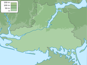
The Henitschesk Strait (Ukrainian Генічеська протока / Henitscheska protoka ; Russian Генический пролив / Genitscheski proliw ) is a four-kilometer-long strait in Kherson Oblast in southern Ukraine .
The road from Henichesk links within the Azov Sea to Syvash with the Utljuk-Liman and separates the mainland from the Ukrainian with the peninsula Krim associated Arabat Spit . It is four kilometers long, 80 to 150 meters wide and about 4.5 meters deep.
Individual evidence
- ^ Henitschesk Street , accessed on December 13, 2014
- ↑ Semjenow, p. 624

