Punchiná dam
| Punchiná dam - San Carlos hydroelectric power station |
|||||||||
|---|---|---|---|---|---|---|---|---|---|
|
|||||||||
|
|
|||||||||
| Coordinates | 6 ° 12 '46 " N , 74 ° 50' 27" W | ||||||||
| Data on the structure | |||||||||
| Lock type: | Earthfill dam | ||||||||
| Construction time: | 1979-1983 | ||||||||
| Height of the barrier structure : | 70 m | ||||||||
| Height of the structure crown: | 785 m | ||||||||
| Building volume: | 6 million m³ | ||||||||
| Crown length: | 800 m | ||||||||
| Power plant output: | 1 240 MW | ||||||||
| Operator: | ISAGEN | ||||||||
| Data on the reservoir | |||||||||
| Altitude (at congestion destination ) | 775 m | ||||||||
| Water surface | 3.6 km² | ||||||||
| Reservoir length | 7.9 km | ||||||||
| Storage space | 62 million m³ | ||||||||
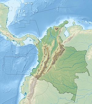
The Punchiná dam is located in the Antioquia department in central Colombia , 80 km east of the city of Medellín . The dam was built to generate electricity. The operator of the plant is ISAGEN.
dam
The dam is located in the east of the Central Cordillera of Colombia. It dams the Río Guatapé over a length of 7.9 km. The dam was built in 1979–1983. It consists of a 70 m high earth embankment . The wall volume is 6 million m³. The dam has a crown height of 785 m and a crown length of about 800 m. At the eastern end there is a flood relief system with a chute .
Reservoir
The elongated Punchiná reservoir (Spanish: Embalse Punchiná ) is oriented in a NW- SE direction. The maximum water surface is 360 ha. The target is 775 m. The annual water level fluctuation is 21 m. The rivers Río Guatapè and Río San Carlos flow into the northwestern end of the reservoir. Upstream on the Guatapé River lies the Playas dam . The road from San Rafael to San Carlos leads past the upper end of the reservoir. The storage volume is 62 million m³.
Hydroelectric power plant
The San Carlos hydropower plant (Spanish: Central Hidroeléctrica San Carlos ) is a cavern power plant located about 400 m underground . It was created in two construction phases. The first was completed in 1984, the second in 1987. The two construction phases each consist of four Pelton turbines , each with an output of 155 MW. The total installed output is thus 1240 MW. The expansion water volume per turbine is 32.7 m³ / s, the turbines rotate at a frequency of 300 rpm. Each of the two 54 m high intake structures ( ⊙ ) not far from the dam supplies 4 units with water. The water is carried over 4.5 km from the reservoir to the power plant. The fall height is 554 m. Two water locks ( ⊙ ) ensure pressure equalization. From the power station, the water is channeled through two 1.5 km long drainage tunnels into the Río Samaná Norte , a right tributary of the Río Nare . The discharge point ( ⊙ ) is located below the mouth of the Río Guatapé. The electricity is fed from the power station to a nearby substation ( ⊙ ).
![]() Map with all coordinates: OSM | WikiMap
Map with all coordinates: OSM | WikiMap
See also
Individual evidence
- ↑ a b c d e Central Hidroeléctrica San Carlos . ISAGEN. Retrieved July 14, 2019.
- ↑ a b c d e Foro Internacional Corredores de Biodiversidad y Areas Protegidas (PDF, 4.5 MB) Paraguay Biodiversidad. April 2016. Accessed July 14, 2019.
- ↑ a b APROVECHAMIENTO ACUICOLA DE EMBALSES EN COLOMBIA . Food and Agriculture Organization of the United Nations (FAO). Retrieved July 17, 2019.
