Tarnica
| Tarnica | ||
|---|---|---|
|
West view of the Tarnica (January 2008) |
||
| height | 1346 m | |
| location | Powiat Bieszczadzki , Subcarpathian Voivodeship , Poland | |
| Mountains | Bieszczady | |
| Notch height | 494 m | |
| Coordinates | 49 ° 4 '29 " N , 22 ° 43' 35" E | |
|
|
||
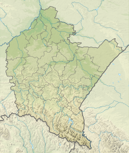
The Tarnica (German Tarnitza ) is 1346 m the highest mountain in the Polish Bieszczady in the extreme southeast of the country in the powiat Bieszczadzki of the Subcarpathian Voivodeship near the border with Ukraine .
The summit of Tarnica (Tarnica means saddle in Romanian, see its shape) towers over the valley of the mountain river Wołosaty by almost 500 meters. It can be easily distinguished from the neighboring mountains by its shape. The mountain has two separate peaks, one of which is 1339 meters and the other is 1346 meters. The southern slope consists of a steep rock wall, the opposite side of less steep grass and scree fields.
The Tarnica is close to the European long-distance hiking trail E8 in the Bieszczady National Park and can be reached from Ustrzyk Górne or Wołosate . The other highest peaks of the Bieszczady such as the Krzemień (1335 m) and the Halicz (1333 m) are neighboring in the mountain ranges .
Web links
- Brief description and situation map (English)


