Tarso Toh
| Tarso Toh | ||
|---|---|---|
|
Satellite image of the Tarso Toh volcanic field |
||
| height | 2000 m | |
| location | Chad | |
| Mountains | Tibesti | |
| Coordinates | 21 ° 20 ′ 0 ″ N , 16 ° 20 ′ 0 ″ E | |
|
|
||
| Type | Volcanic field | |
| Last eruption | unknown | |
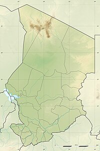
The Tarso Tôh volcanic field is located in the north of the Republic of Chad , in the northwest of the Tibesti Mountains at an altitude of 2000 meters.
The volcanic field was formed on the border between the Pleistocene and the Holocene and comprises 150 cinder cones and 2 maars . It is said to be active because studies of the sediments in the Begour Maar have shown an age of 8300 ± 300 years. The trodden basalt currents of the Tarso Tôh volcanic field cover an area of 80 km in a west-east direction and 20-30 km in a north-south direction north of the Tarso Toussidé , flooded plains and filled mountain valleys. The mountain base under these basalts consists in the western part of Precambrian slate and in the eastern part of sandstones from the Paleozoic era .
source
- Tarso Toh in the Global Volcanism Program of the Smithsonian Institution (English)

