Tarso Toussidé
| Tarso Toussidé | ||
|---|---|---|
|
Tarso Toussidé on a satellite image, the north-south axis is rotated 180 degrees |
||
| height | 3265 m | |
| location | Chad | |
| Mountains | Tibesti | |
| Coordinates | 21 ° 2 '27 " N , 16 ° 28' 24" E | |
|
|
||
| Type | Stratovolcano | |
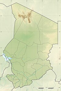
The Tarso Toussidé is a 3,265 meter high stratovolcano in the north of the Republic of Chad . It forms a wide volcanic massif on the western edge of the Tibesti Mountains and covers an area of approx. 6,000 km².
The main peak of the volcano was formed on the western edge of a 14 km wide caldera from the Pleistocene . The massif rises above Precambrian schists in the east and sandstones from the Paleocene in the western part. On the summit there are numerous fumaroles and very young lava flows made of trachytic and trachyte-andesitic materials. These cover an area of approx. 200 km² and extend 25 km from the summit , mainly on the western side of the main crater. Southeast of the Toussidé is the 1 km deep and 8 km wide caldera Trou au Natron . The Ehi Timi and Ehi Sosso volcanoes and the smaller 1.5 km wide crater of the Doon Kidimi are located on the northeast and east-southeast flanks of the Tarso Toussidé massif.
Web links
swell
- Tarso Toussidé in the Global Volcanism Program of the Smithsonian Institution (English)

