The Island (Arkansas)
| The Island | ||
|---|---|---|
| Waters | Petit Jean River | |
| Geographical location | 35 ° 4 '5 " N , 93 ° 28' 28" W | |
|
|
||
| length | 1.6 km | |
| width | 1 km | |
| surface | 55 ha | |
| Highest elevation | 4 m | |
| Residents | uninhabited | |
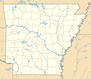
The Island in the US state of Arkansas is an island between the Petit Jean River and a tributary known as the " Little Petit Jean River " west of Danville , Arkansas.
The island is located in Yell County in the western part of the state of Arkansas, 17 miles downriver from Blue Mountain Lake , 7.5 miles west-southwest of the city of Danville. It has a length of about 1600 m in the northwest-southeast direction and a width of about 1000 m in the northeast-southwest direction, with a total area of 55 hectares .
The island is uninhabited and scattered with bushes and trees, its highest point is 106 m . The island is bordered in the south by the watercourse of the strongly meandering "Petit Jean River", from which the "Little Petit Jean River" branches off in the west of the island, completely enclosing the island in the north and again with the "Petit Jean River" in the southeast “United. The island is used in parts as pasture and arable land. In the area adjoining the island to the south there is a farm with various decentrally arranged 100 meter long barns, which are presumably used for poultry breeding, as the Danville region mainly lives from poultry farming and poultry processing.
The "Petit Jean River" flows below " The Island " further 94 km in a south-easterly direction and flows into the Arkansas River 30 km below Russellville .
