
Tortola
| Tortola | ||
|---|---|---|
 |
||
| Waters | Caribbean Sea | |
| Archipelago | Virgin Islands | |
| Geographical location | 18 ° 26 ′ N , 64 ° 38 ′ W | |
|
||
| length | 19 km | |
| width | 5 km | |
| surface | 55.7 km² | |
| Highest elevation | Mount Sage 523 m |
|
| Residents | 23,419 (2010) 420 inhabitants / km² |
|
| main place | Road Town | |
 |
||

Tortola (German and Dutch Terthaben ) is the largest island in the British Virgin Islands with 55.7 km² . It is about 19 kilometers long and 5 kilometers wide and has 23,419 inhabitants (as of 2010). The capital is Road Town on the south coast. The highest point on the island and the entire archipelago is Mount Sage at 523 m . Much of its woodland is declared a nature reserve, which is accessible with well-laid hiking trails.
history
In the 1st century BC The Arawak settled the island in the 15th century and were subjugated by the Caribs in the 15th century .
At the end of the same century, the Europeans became aware of this island after it was discovered by Christopher Columbus in 1493 along with the entire archipelago of what is now the Virgin Islands .
The Spaniards tried several times to colonize the archipelago, but the first permanent settlements were those of pirates like Blackbeard or William Kidd . At the beginning of the 17th century, Joost van Dyk settled on Tortola. He was the captain of a privateer , which is why he was sometimes referred to as a pirate. He grew cotton and tobacco and built Fort Recovery on the island in 1620.
The Netherlands took possession of the island in 1621 and named it " Terthaben ". To secure their new colonial possessions, they built Fort Tertholm that same year, which was destroyed in a Spanish attack in 1640. The expelled Dutch settlers returned in 1648 and founded today's Road Town on Road Bay as the main town and administrative center.
In 1672 Tortola and its neighboring islands were taken over by the English . They set up plantations here, where sugar cane was grown by African slaves for the next 150 years . When the British abolished slavery in the mid-19th century , the white landowners gave up growing sugar cane; most of them left the British Virgin Islands during the economic decline it caused.
In 1871 the islands were given the status of a British crown colony until they were granted internal self-government in 1966 .
The following forts were built on the island to fortify the colonial seats (original names, partly changed later):
- 1620 Fort Recovery (Dutch),
- 1621 Fort Terthaben (Dutch),
- 1776 Fort Burt (British),
- 1794 Fort George, Fort Charlotte, Fort Shirley (all British).
Attractions
The JR O'Neal Botanic Gardens in the center of Road Town impress with their abundance of exotic plants. A circular route passes an artificial waterfall and an open-air enclosure for tropical birds. Many large catamarans and yachts anchor in the deep-sea port and at the ferry terminal of Road Town, which can often be chartered for excursions into the island world of the Virgins. Road Town's Main Street is home to shops, bars and pubs as well as a few colonial-style houses.
There are many forts and their ruins on Tortola. On the south coast, the first Dutch settlers built Fort Recovery in the 17th century and at Pockwood Pond you can explore the remains of The Dungeon (18th century), which was used as a fort to monitor ship traffic between the islands. In one of his cellar vaults there are incised drawings on the walls - probably by prisoners. The ruins of the British Fort George and the remains of Fort Charlotte on Harrigan's Hill also date from the 18th century on Fort Hill - near Road Town.
Origin of the name
The name is derived from the Dutch island of Ter Tholen , based on the peninsula of the same name in the province of Zeeland in the southwestern Netherlands. The name pigeon island incorrectly refers to the Spanish tórtola, which means turtledove. The island was called Terthaben , New Terthaben and Santa Ana in Spanish before the name was changed to Tortola under British rule .
traffic
The international airport Terrance B. Lettsome International Airport ( IATA code: EIS) is located on the offshore Beef Island , which is connected to Tortola by the 70-meter-long Queen Elizabeth II Bridge .
literature
- Gerold Jung : ADAC Caribbean Travel Guide . 5th, revised edition. ADAC-Verlag, Munich 2003, ISBN 3-87003-698-2 .
Web links
- Our Islands. Tortola. Government of the Virgin Islands(English).
- Tortola. In: The British Virgin Islands. British Virgin Islands Tourist Board.
- Tortola in the British Virgin Islands. In: British Virgin Islands. Bareboats BVI, January 5, 2015(English).
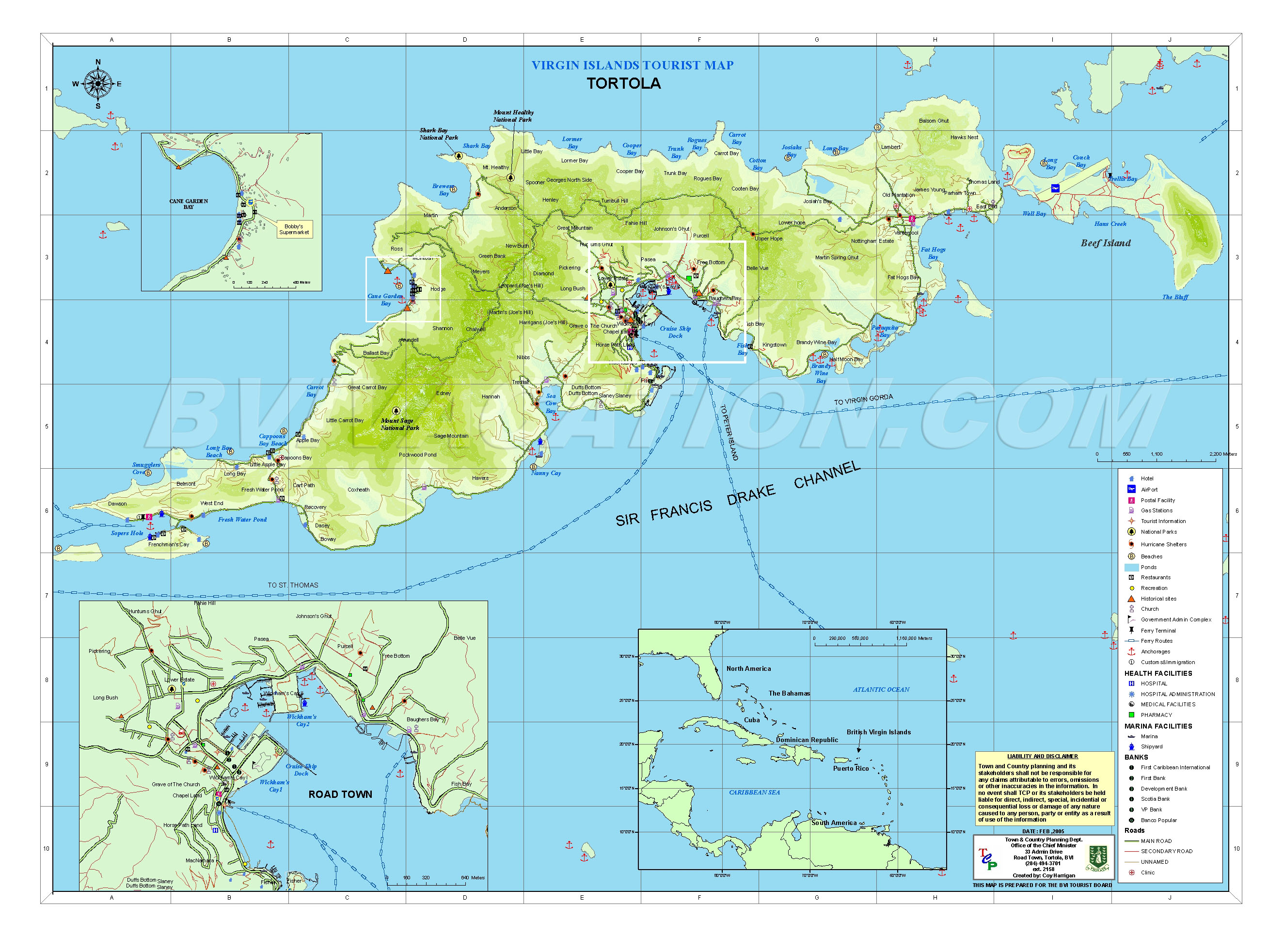
- Maps - Tortola. Detailed map of the island. In: British Virgin Islands Vacation. Vacation (BVI) Ltd., February 2005(English).
Individual evidence
- ^ Virgin Islands 2010 Population and Housing Census Report. (PDF; 2.52 MB) Executive Summary. Government of the Virgin Islands - Central Statistics Office, December 1, 2016, p. 1 , accessed January 2, 2018 .
- ^ Sage Mountain National Park. In: The British Virgin Islands. British Virgin Islands Tourist Board, accessed January 2, 2018 .
- ^ Sage Mountain National Park on Tortola BVI. Brief description with route sketch. In: Directory of the British Virgin Islands at ReservationsBVI.Com. Retrieved January 2, 2018 .
- ^ A b Christoph Rella: In the beginning there was a fort - European fortification policy in Guinea and West India 1415-1815 . Dissertation. Vienna March 2008, p. 164, 197 and 346 ( online in the university theses service of the University of Vienna [PDF; 7.6 MB ]).
- ↑ Christoph Rella: In the beginning there was a fort - European fortification policy in Guinea and West India 1415-1815 . Dissertation. Vienna March 2008, p. 197 ( online in the e-theses service of the University of Vienna [PDF; 7.6 MB ]).
- ^ JR O'Neal Botanic Garden - Road Town. In: British Virgin Islands. Bareboats BVI, June 6, 2016, accessed on January 2, 2018 .
- ↑ America and West Indies: December 1697, 16–31 . In: John William Fortescue (Ed.): Calendar of State Papers Colonial, America and West Indies . tape 16.1697-1698 . London 1905, p. 61-78 , Dec. 29: 132nd paragraph 5 ( online on British History Online ).