Travnik (mountain)
| Travnik | ||
|---|---|---|
|
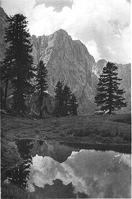
The mountain from the north |
||
| height | 2379 m. i. J. | |
| location | Slovenia | |
| Mountains | Julian Alps | |
| Coordinates | 46 ° 25 '44 " N , 13 ° 42' 47" E | |
|
|
||
The Travnik is a mountain in the Julian Alps in Slovenia with a height of 2379 m. i. J.
It rises with a mighty north face over the Planica valley (German Ratschach-Matten), and lies on the connecting ridge between Mojstrovka in the east and Jalovec in the west. The summit is easiest to reach from the east via the Vršič Pass . The Aschenbrenner route (V-VI UIAA ) leads through the north face , which Peter Aschenbrenner and Hermann Tiefenbrunner first climbed in 1934 and which was one of the most difficult climbs in the Julian Alps.
Web links
Commons : Travnik - collection of images, videos and audio files
- Travnik on Summitpost.org
- Travnik - Hribi.net (Slovenian, partly English)

