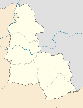
Tschernschtschyna (Ochtyrka)
| Tschernschtschyna | ||
| Чернеччина | ||

|
|
|
| Basic data | ||
|---|---|---|
| Oblast : | Sumy Oblast | |
| Rajon : | Okhtyrka district | |
| Height : | 108 m | |
| Area : | Information is missing | |
| Residents : | 1,746 (2001) | |
| Postcodes : | 42744 | |
| Area code : | +380 544695 | |
| Geographic location : | 50 ° 18 ' N , 34 ° 49' E | |
| KOATUU : | 5920389201 | |
| Administrative structure : | 32 villages | |
| Address: | вул. Заводська буд. 2 42744 с. Чернеччина |
|
| Website : | Official website of the rural community | |
| Statistical information | ||
|
|
||
Tschernetschtschyna ( Ukrainian Чернеччина ; Russian Чернетчина Tschernettschina ) is a village in the south of the Ukrainian Oblast Sumy with about 1700 inhabitants (2001).
The village was founded in the second half of the 17th century, since December 2017, the administrative center of 582.69 square kilometers of rural community ( Чернеччинська сільська громада ) in Rajon okhtyrka with more than 10,000 inhabitants, belong to the still another 31 villages.
The village is located at an altitude of 108 m on the right bank of the Worskla , a left tributary of the Dnieper , 8 km west of the district center of Ochtyrka and 80 km south of the center of Sumy oblast . Through the village runs the territorial road T-17-05 .
Web links
- Municipal council website on rada info (Ukrainian)
Individual evidence
- ↑ Local website on the official website of the Verkhovna Rada ; accessed on March 19, 2020 (Ukrainian)
- ↑ Local history of Tschernschtschyna in the history of the cities and villages of the Ukrainian SSR ; accessed on March 19, 2020 (Ukrainian)
- ↑ The church on the official church website; accessed on March 19, 2020 (Ukrainian)
- ↑ https://decentralization.gov.ua/gromada/122
- ↑ https://gromada.info/gromada/chernechynska/


