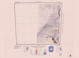
Turnstile Ridge
| Turnstile Ridge | ||
|---|---|---|
| location | Australian Antarctic Territory , East Antarctica | |
| part of | Britannia Range , Transantarctic Mountains | |
|
|
||
| Coordinates | 79 ° 50 ′ S , 154 ° 36 ′ E | |
|
Map sheet Turnstile Ridge from 1963 (new edition 1988); Turnstile Ridge in the south of the map, in the middle the Darwin firn field |
||
Turnstile Ridge (loosely translated: turnstile comb ) is a ridge at the northwest end of the Britannia Range in the Transantarctic Mountains . It is 14 km long and rises around 5 km north of the Westhaven Nunatak up to a height of 2233 m .
The so-called Darwin Glacier Group of the Commonwealth Trans-Antarctic Expedition (1955-1958) named it that way because the shape of the snow passages in this mountain ridge is reminiscent of turnstiles .
Web links
- Turnstile Ridge in the Geographic Names Information System of the United States Geological Survey (English)
- Turnstile Ridge on geographic.org (English)

