
Umm Qasr
| Umm Qasr | |||
|---|---|---|---|
| location | |||
|
|||
| Coordinates | 30 ° 2 ' N , 47 ° 56' E | ||
| Country |
|
||
| Governorate | Basra | ||
| District | Chat al-`Arab | ||
| Basic data | |||
| Residents | 107,620 (2005) | ||
 |
|||

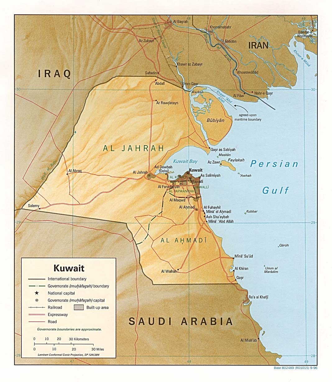
Umm Qasr ( Arabic أم قصر, DMG Umm Qaṣr ; Alternative spelling Umm Kasr ) is a port city in Iraq , in the west of the Fau peninsula on the Persian Gulf . It has 107,620 inhabitants (as of January 1, 2005) and is located in a narrow bay , the opposite bank of which belongs to Kuwait . The exact course of the border in the bay is controversial. There is also a village of the same name in Kuwait, on the other side of the border. The American prison camp, Camp Bucca, was located near the city.
history
Formerly a small fishing port, the port was expanded into a military port and an overseas port with modern port facilities after the Iraqi Revolution of 1958 . It is the only deep water port in Iraq.
During the First Gulf War from 1980 to 1988 between Iran and Iraq, Umm Qasr was of particular importance, as the other ports of Iraq in the Shatt al-Arab could no longer be used by Iraq.
During the Third Gulf War in 2003, the city was one of the targets of the American , British and Polish troops.
See also
Web links
- Location map of Umm Qasr
- City map (PDF; 300 kB)