Wölfelsgrunder dam
| Wölfelsgrunder dam | |||||||
|---|---|---|---|---|---|---|---|
| Gravity dam of the dam | |||||||
|
|||||||
|
|
|||||||
| Coordinates | 50 ° 13 '50 " N , 16 ° 44' 47" E | ||||||
| Data on the structure | |||||||
| Construction time: | 1905-1907 | ||||||
| Height above valley floor: | 26 m | ||||||
| Height above foundation level : | 30.2 m | ||||||
| Building volume: | 20th 500 m³ | ||||||
| Crown length: | 110 m | ||||||
| Crown width: | 3.3 m | ||||||
| Base width: | 19 m | ||||||
| Radius of curvature : | 250 m | ||||||
| Data on the reservoir | |||||||
| Water surface | 8 ha | ||||||
| Storage space | 0.91 million m³ (possibly also 1.3 million m³) | ||||||
| Catchment area | 25 km² | ||||||
| Design flood : | 90 m³ / s | ||||||
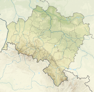
The Wölfelsgrunder Dam ( pol. Zapora na Wilczce ) is located in the Glatzer snow mountains below the Wölfelfall ( Wodospad Wilczki ). Above the dam is the mountain health resort Międzygórze ( Wölfelsgrund ), which belongs to the Polish community of Bystrzyca Kłodzka in the powiat Kłodzki .
The Wölfelsbach ( Wilczka ), which flows into the Glatzer Neisse before Habelschwerdt , is dammed . The storage space is given differently in two sources with 0.91 and 1.3 million m³.
The dam has a curved gravity dam made of quarry stone as a barrier structure , which is founded on gneiss . The structure corresponds to the Intze type . It has two bottom outlets through which 8.25 m³ / s can flow off twice. In addition, the wall has a passage in the middle about halfway up, through which 55 m³ / s can be drained. The flood relief is located as a free overflow in the middle of the dam .
According to Kelen (1933), the construction costs amounted to 0.52 million Reichsmarks .

