Wedi (river)
| Wedi | ||
|
Course of the Wedi ( Veghi ) in Armenia (in the pink-colored area) |
||
| Data | ||
| location | Ararat Province ( Armenia ) | |
| River system | Kura | |
| Drain over | Macaws → Kura → Caspian Sea | |
| source | in the south of the Gegham Mountains 40 ° 0 ′ 38 ″ N , 45 ° 4 ′ 29 ″ E |
|
| Source height | approx. 2700 m | |
| muzzle |
Macaw's coordinates: 39 ° 49 ′ 22 " N , 44 ° 37 ′ 15" E 39 ° 49 ′ 22 " N , 44 ° 37 ′ 15" E |
|
| Mouth height | approx. 810 m | |
| Height difference | approx. 1890 m | |
| Bottom slope | approx. 33 ‰ | |
| length | 58 km | |
| Catchment area | 633 km² | |
| Drain |
MQ |
1.84 m³ / s |
| Small towns | Wedi | |
| Communities | Urtsadzor , Aygavan , Yeghegnavan | |
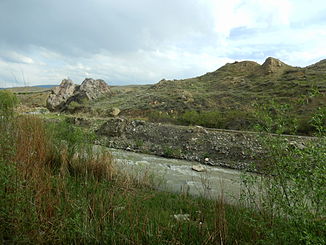
The Wedi ( Armenian Վեդի ) is a left tributary of the Aras in the Armenian province of Ararat .
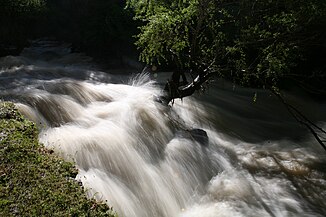
The Wedi rises in the south of the Gegham Mountains . It initially flows a short distance south, but then turns to the west-southwest for the rest of its course. It flows through the place Urtsadzor and the city Wedi . He reaches the Aras Plain . It still passes the places Aygavan and Yeghegnavan before it flows into the macaws. The Wedi has a length of 58 km. Its catchment area covers 633 km². The mean discharge is 1.84 m³ / s.
Web links
Commons : Wedi - collection of images, videos and audio files


