Westbury, Tasmania
| Westbury | |||||||
|---|---|---|---|---|---|---|---|
|
|||||||
|
|||||||
|
|||||||
|
|||||||
|
|
|||||||
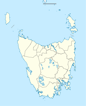
Westbury is a small town in the central-northern part of the Australian state of Tasmania , about 30 km west of Launceston on the Bass Highway . The population was 1,473 in 2016. Westbury is part of the Meander Valley Council county .
The site was founded in 1828 by the Van Diemen's Land Company and was intended to serve as a gateway to the northwest. This function was later taken over by Deloraine (Tasmania) , a few kilometers to the west .
Attractions in Westbury are the White House from 1941 and the labyrinth Westbury Maze .
Since 2002 the Bass Highway no longer runs through Westbury, but bypasses the place.
The name is derived from the place Westbury in Wiltshire , England .
Individual evidence
- ^ Australian Bureau of Meteorology . Retrieved November 1, 2013.
- ↑ a b Australian Bureau of Statistics : Westbury ( English ) In: 2016 Census QuickStats . June 27, 2017. Retrieved April 3, 2020.
