Wissguber
| Wissguber | ||
|---|---|---|
|
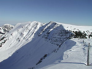
In February 2005 from the southwest near Fürstein |
||
| height | 1941 m above sea level M. | |
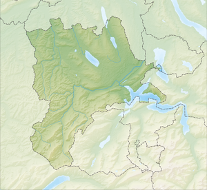
| location | Canton border Lucerne / Obwalden , Switzerland | |
| Dominance | 0.92 km → Fürstein | |
| Notch height | 60 m ↓ unnamed notch | |
| Coordinates | 649136 / 194546 | |
|
|
||
The Wissguber is a mountain in the Swiss Glaubberg region on the border between the cantons of Lucerne ( Hasle municipality ) and Obwalden ( Sarnen municipality ). The Wissguber is a flat extension of the northeast ridge of the prince . The long, flat summit ridge drops steeply, especially to the west. Its highest point is at an altitude of 1941 m above sea level. M. , where another ridge goes off to the southeast to the Rickhubel ( 1943 m above sea level ). To the south to Sewenseeli it only slowly loses height, especially in the upper area.


