Wolverton
Coordinates: 52 ° 4 ′ N , 0 ° 49 ′ W
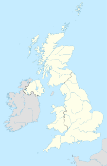
Wolverton [ˈwʊlvətən] is a town in the north of the Borough of Milton Keynes , which until 1997 formed the northern part of Buckinghamshire . The city lies between Stony Stratford and Newport Pagnell and has a population of 13,546 (as of 2001).
Wolverton was mentioned as Wluerintone in the Domesday Book of 1086 . It was located on the site of what is now Old Wolverton, northwest of the present city. However, nothing has survived from the medieval place; on the site of the Norman castle, which was built as a motte , the Church of the Holy Trinity rises today, next to which a rectory built in 1729 stands.
Wolverton is on the Grand Union Canal . More important, however, was the rail connection on the London - Birmingham line , which was completed in 1838 , with Wolverton having a locomotive construction and repair workshop. Since the end of the 19th century, instead of locomotives, mainly wagons were built and repaired. During World War II , these facilities were used to produce armaments. The workshops included a railway settlement built in 1844 with around 200 houses including several schools, a church and a market. In 1899 a soccer field was built for the factory soccer team, which had one of the first soccer stands in England.
