Yimeng Shan
| Yimeng Shan | ||
|---|---|---|
| location | Shandong ( PR China ) | |
|
|
||
| Coordinates | 35 ° 40 ′ N , 117 ° 47 ′ E | |
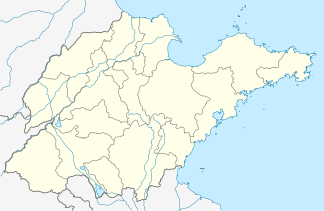
Yimeng Shan ( Chinese 沂蒙 山 , Pinyin Yíméng Shān ) is a mountain range in the area of the prefecture -level city of Linyi临沂 市 in the south of the Chinese province of Shandong .
It consists of numerous hills. The highest of these include Yishan 沂山, Mengshan 蒙山, Beidashan 北大 山, Lushan 芦山 and Menglianggu 孟良崮. It is the scene of the Yimeng Shan xiaodiao 沂蒙山 小调 folk tune.
The Yi-Shu-Si river network ( 沂沭泗 河水系 , Yi-Shu-Si He shuixi ) with the eponymous rivers Yi He ( 沂河 ), Shu He ( 沭河 ) and Si He ( 泗 河 ) has its place here Origins. The rivers flow south towards Jiangsu Province and flow into the Yellow Sea .
Yimengshan National Geopark
This is where the Yimengshan National Geopark is located (沂蒙 山 国家 地质 公园).
Yimengit
The mineral yimengite (沂蒙 矿), discovered in 1980, has its type locality in Mengyin County .
Web links
Individual evidence
- ↑ Video on YouTube
- ↑ Ca-Yimengite, another New Mineral in Kimberlite, Shandong Province ( Memento from July 21, 2012 in the web archive archive.today )
- ^ Locations of Yimengite at mindat.org, accessed March 2, 2009.
- ↑ http://www.cqvip.com/qk/93477a/200702/24094690.html
