Axel Heiberg Glacier
| Axel Heiberg Glacier | ||
|---|---|---|
|
The Axel Heiberg Glacier in the summer of 1956/57. |
||
| location | Ross Dependency , Antarctica | |
| Mountains | Queen Maud Mountains , Transantarctic Mountains | |
| length | 48 km | |
| Coordinates | 85 ° 25 ′ S , 163 ° 0 ′ W | |
|
|
||
|
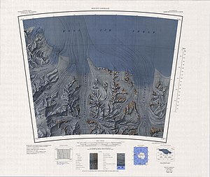
Lower part of the glacier in the upper left corner of the map |
||
|
to the west adjoining map sheet with the upper part of the glacier and the Amundsen Icefall |
||
The Axel Heiberg Glacier is a 48 kilometer long valley glacier that flows in the Queen Maud Mountains from the polar plateau between the Herbert Range and Mount Don Pedro Christophersen in the area of the western Amundsen coast to the Ross Ice Shelf . The beginning of the glacier is marked by the Amundsen Icefall .
The Norwegian polar explorer Roald Amundsen discovered the glacier as an ascent route for his way to the geographic South Pole . Amundsen named him after Axel Heiberg (1848-1932), a Norwegian businessman and research patron who had supported numerous Norwegian polar expeditions, including Amundsen's South Pole Expedition (1910-1912).
Web links
- Axel Heiberg Glacier in the Geographic Names Information System of the United States Geological Survey
- Axel Heiberg Glacier on geographic.org (English)


