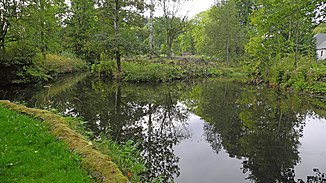
Bělokamenný potok
|
Bělokamenný potok Whitestone river |
||
|
Estuary into the Moravice |
||
| Data | ||
| location | Moravskoslezský kraj , Czech Republic | |
| River system | Or | |
| Drain over | Moravice → Opava → Or → Stettiner Haff | |
| source | Northern slope of the Temná in the Jeseníky Mountains 50 ° 3 ′ 34 ″ N , 17 ° 15 ′ 26 ″ E |
|
| Source height | 1116 m nm | |
| muzzle | in Malá Morávka in the Moravice Coordinates: 50 ° 0 ′ 59 " N , 17 ° 18 ′ 45" E 50 ° 0 ′ 59 " N , 17 ° 18 ′ 45" E |
|
| Mouth height | 648 m nm | |
| Height difference | 468 m | |
| Bottom slope | 53 ‰ | |
| length | 8.8 km | |
| Catchment area | 18.85 km² | |
| Drain |
MQ |
349 l / s |
| Residents in the catchment area | 574 | |
The Bělokamenný potok (German Weißersteinfluss ) is a left tributary of the Moravice in the Czech Republic.
course
The Bělokamenný potok rises at the Chata Eustaška on the northern slope of the Temná (1263 m) on a backrest below the main ridge of the Jeseníky Mountains crowned by the Vysoká hole (1463 m) . The stream runs through a deep, wooded valley initially to the east and turns to the south on the edge of the Javorový vrch nature reserve . The village of Malá Morávka extends along its further course . There, after 8.8 kilometers, the Bělokamenný potok flows into the Moravice , which flows down west of Karlov pod Pradědem . At the confluence, the Moravice is the longer, but the Bělokamenný potok is the much richer body of water.
