Basswood Lake (Basswood River)
| Basswood Lake | ||
|---|---|---|
| Geographical location |
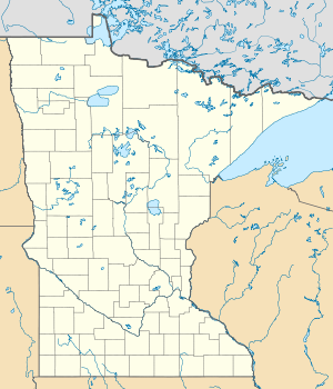
Rainy River District in Ontario (Canada), Minnesota (USA) |
|
| Tributaries | Kawishiwi River , Range River | |
| Drain | Basswood River | |
| Data | ||
| Coordinates | 48 ° 6 ′ N , 91 ° 37 ′ W | |
|
|
||
| Altitude above sea level | 396 m | |
| surface | 92 km² | |
| Maximum depth | 34 m | |
The Basswood Lake is a lake on the American-Canadian border.
The strongly indented lake has an area of 92 km² and lies at an altitude of 396 m . Its maximum water depth is 34 m. The lake is located on the US side in the Superior National Forest and on the Canadian side in Quetico Provincial Park . Basswood Lake is fed at its eastern end by the outflows of Lake Moose Lake to the south and Knife Lake to the east . The Kawishiwi River flows into the western part of the lake from the south and the Range River from the west . Basswood Lake is drained in the west via the Basswood River to Crooked Lake in the west and on to Lac la Croix .
The lake is considered good fishing water. The fish fauna include: eyeglasses , pike and rock bass .
