Beaufort (Victoria)
| Beaufort | |||||||||
|---|---|---|---|---|---|---|---|---|---|
 Beaufort main street |
|||||||||
|
|||||||||
|
|||||||||
|
|||||||||
|
|||||||||
|
|
|||||||||
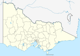
Beaufort is a place in the state of Victoria in Australia and is located halfway between Ballarat and Ararat on the Western Highway and is a stop on the drive from Adelaide to Melbourne . Beaufort is the administrative seat of the Local Administrative Area (LGA) Pyrenees Shire .
During the gold rush in the middle of the 19th century, up to 100,000 people lived here, today (2016) there are only around 1100.
Individual evidence
- ↑ a b Australian Bureau of Statistics : Beaufort ( English ) In: 2016 Census QuickStats . June 27, 2017. Retrieved April 15, 2020.
