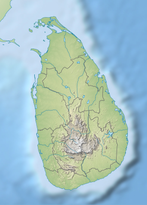
Beira Lake
| Beira Lake | ||
|---|---|---|

|
||
| The small Beira Lake with the Seema Malaka Temple in the foreground. | ||
| Geographical location | Colombo , Western Province , Sri Lanka | |
| Data | ||
| Coordinates | 6 ° 55 '50 " N , 79 ° 51' 0" E | |
|
|
||
| Altitude above sea level | 9.8 m | |
| surface | 65.4 ha | |
| Middle deep | 2.0 m | |
|
particularities |
There are three parts:
|
|
The Beira Lake actually consists of three lakes in the heart of the city of Colombo in Sri Lanka . The smaller lake ( East Lake ) is a little south. The Seema Malaka Temple is also located there. Between it and most of Beira Lake ( East Lake ) is Slave Island and Union Place . Immediately by the fort is the Galle Face Lake . It also serves to drain the lakes.
The name is relatively new; it only appears on the maps from 1927, before it was only called Colombo Lake . The lake is surrounded by many of the city's major shops. About a hundred years ago, Beira Lake was 165 hectares in size, but today the size has shrunk to 65 hectares .
In 1521 the lake was created by the Portuguese to better defend Fort Colombo. They used the natural lowlands of the Kelani for this. In 1554 the Portuguese Beiro built a dam where Dam Street is now. After the Dutch conquered the island, around 1700 the Dutch engineer Johann de Beer built canals and drained the adjacent alluvial land to further improve the defense. Above all, he created a canal between the Kelani and the Panadura . During the colonial days of Sri Lanka, the lake was used by the Portuguese, Dutch and English as a means of transport to move goods within the city. Pollution was already a problem at the beginning of the 20th century. At that time, the expansion of the port began, which led to the lake shrinking more and more. In the 1990s an attempt was made to restore the lake with the help of the World Bank. Measures included diverting water from the nearby Kelani River to prevent it from drying out. However, the measures were only implemented half-heartedly.
Slave Island was in the middle of the lake . At the time of the Dutch, slaves from Indian Goa were settled there. Southeast of the lake is the oldest Buddhist monastery, Gangaramaya . It was founded by the monk Hikkaduwe Sri Sumangala Nayaka Thera (1827-1911). The Seema Malaka Temple, which also belongs to the monastery, floats on the lake .
Web links
Individual evidence
- ↑ COMPOSITION, DENSITY AND DISTRIBUTION OF ZOOPLANKTON IN SOUTH WEST AND EAST LAKES OF BEIRA LAKE SOON AFTER THE RESTORATION OF SOUTH WEST LAKE AI Kamaladasa and YNA Jayatunga, Ceylon Journal of Science (Biological Sciences) 36 (1): 1-7, 2007 ISSN 0069-2379
- ^ Restoring Beira Lake - an integrated urban environmental planning experience in Colombo, Sri Lanka (English) Dissanayake, Leonard; Pereira, Ravi; World Bank Report 1996
- ↑ Government press release ( Memento of the original dated December 4, 2008 in the Internet Archive ) Info: The archive link was inserted automatically and has not yet been checked. Please check the original and archive link according to the instructions and then remove this notice.
- ↑ http://www.dailymirror.lk/2007/08/21/edit.asp
