Berutarube
| Berutarube | ||
|---|---|---|
|
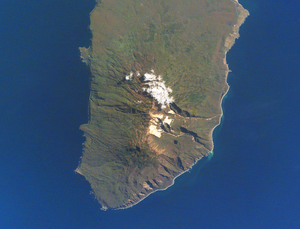
NASA image of Iturup with the Berutarube volcano |
||
| height | 1221 m | |
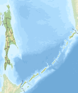
| location | Sakhalin , Russia | |
| Coordinates | 44 ° 27 '33 " N , 146 ° 56' 11" E | |
|
|
||
| Type | Stratovolcano | |
The Berutarube volcano ( Russian Берутарубе ) forms the southwest part of the Kuril island of Iturup .
The flanks of the volcano, which consists of andesitic and Dacite material, are deeply carved into valleys formed by glaciers. The last eruptions of the volcano occurred several hundred to a maximum of a thousand years ago. There are no known historical eruptions of the volcano. In the summit crater there are some active fumarole fields in which sulfur is deposited by the escaping gases .
Web links
- Berutarube in the Global Volcanism Program of the Smithsonian Institution (English)

