Bessvatnet
| Bessvatnet | ||
|---|---|---|

|
||
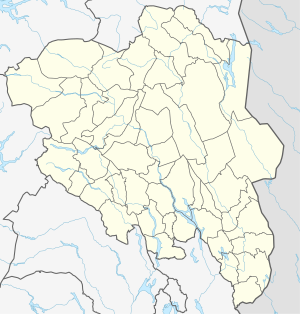
| Geographical location | Innlandet ( Norway ) | |
| Drain | Bessa → Sjodalsvatnet → Sjoa | |
| Location close to the shore | Vågå | |
| Data | ||
| Coordinates | 61 ° 30 '43 " N , 8 ° 43' 55" E | |
|
|
||
| Altitude above sea level | 1373 moh. | |
| surface | 4.64 km² | |
| scope | 13.31 km | |
The Bessvatnet is a lake in the municipality of Vågå , Fylke Innlandet in Norway . It is located at an altitude of 1,373 meters.
location
It is located on the southern foothills of the Besseggen in the Jotunheimen -Bergland. On the other side of the Besseggen ridge, the Gjende Lake is 389 meters lower . Riksvei 51 is about 5 km from the eastern bank .
Surname
The name Bessvatnet means “bear lake” in Norwegian (old Norwegian: bersi “bear” and vatn “water, lake”) and is derived from the Bessa river, which emerges from the lake and flows into the Sjoa three kilometers further near Bessheim .
nature
The lake is about 6 km long and up to a kilometer wide. It extends from east to southwest in a crescent shape. The water of the Bessvatnet appears blue and is partly frozen into the summer. The narrow land connection, only about 50 m wide, the steep ridge between the two lakes Gjende and Bessvatnet is called Bandet and was the subject of planning for the hydropower industry, which wanted to use the gradient to generate electricity.
literature
- Bernhard Pollmann: Norway. Trekking guide: for trekkers and mountaineers. Hikes and mountain climbing in Jotunheimen and Rondane . Bergverlag Rother , 2002, ISBN 3-7633-2706-1 .
